Sunday, August 26, 2018

Tumbledown Mountain (Franklin County)

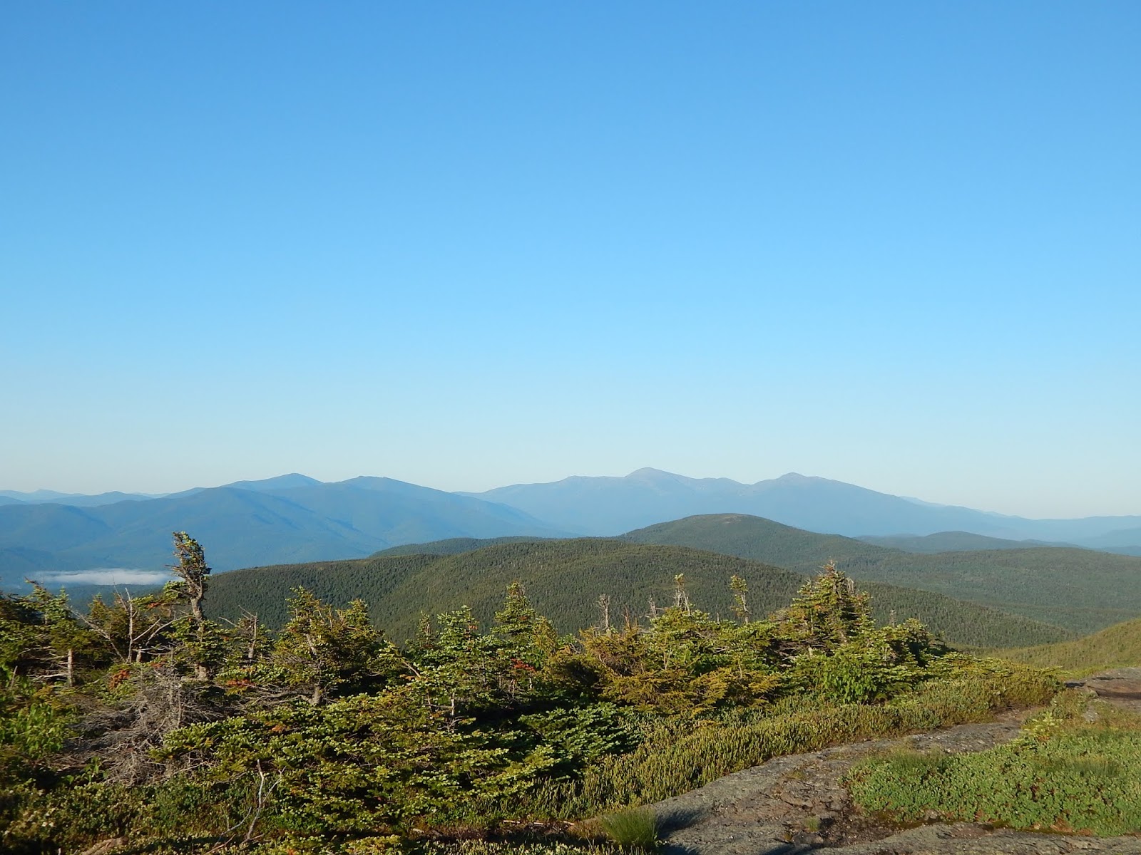
North Peak and Tumbledown Pond.

Physical Description:Tumbledown Mountain, at 3,068-feet, is one of the many scenic peaks in the Weld Area, and it is probably one of the most popular mountains on the list. The peak is known for it's great scenery, and unique geography.
The mountain is made up of three craggy knobs, the tallest one being the North Peak. Both the East Peak and West Peak have trails to them, and they feature extensive ledges and chances for scenery. The West Peak is home to Tumbledown Cliff, and good views to Saddleback Mountain, Little Jackson Mountain, Blueberry Mountain, Mt.Blue, and Elephant Mountain. The East Peak is home to even bigger ledges, while the North Peak offers grand views to the Rangeley High Peaks, and is completely bald.
Tumbledown Pond can be found right beneath the western side of Little Jackson Mountain. The pond includes some unofficial tentsites and an island, along with views to Webb Lake, North Peak, and West Mountain.

Trail Overview & Camping:There are a multitude of trails to ascend Tumbledown Mountain. A map can be found here. The tallest peak (North Peak) is officially trailless, but a well-known herd path can be followed from the West Peak, that goes over the North Peak, and down to Tumbledown Pond. Another unofficial trail connects the northern side of Tumbledown Pond to Little Jackson Mountain, which brings in the possibility of a grand loop. These unofficial paths are easy to follow.
There are no official tentsites or shelters, besides the unofficial ones on the west side of Tumbledown Pond. Fires are not allowed on the mountain.

History & Lists:Tumbledown Mountain gets it's name from the monstrous cliff on the West Peak, which rocks tend o tumble down (get it?). The mountain is on no other lists.

GALLERY

Little Jackson Mountain from Tumbledown Pond.
West Mountain from the ledges.
Little Jackson Mountain and Mt.Blue from East Peak.
Looking toward West Peak and Tumbledown Cliff.
West Mountain from the col.
The view from West Peak.
West Peak and the distant Mahoosuc Range from North Peak.
Saddleback Mountain and The Horn from North Peak.
Tumbledown Pond and Webb Lake.

What Can Be Seen...

The view from West Peak.

Tumbledown Mountain is a very popular hike, but the occasional crowd is the only problem. The mountain is highly praised, and for good reason. Get out there and enjoy the hike!

Mt.Coe (Piscataquis County)

The Brothers and the Cross Range from Mt.Coe.

Physical Description:Mt.Coe towers at a height of 3,795-feet, between the peaks of Mt.OJI and South Brother, in the southern portion of Baxter State Park. 
The summit of Mt.Coe features a 360-degree view, from a bald rock, with krumholz and small trees on the west side of the peak. The Klondike can be seen, along with South Brother, Hamlin Peak, Baxter Peak, Barren Mountain, and Doubletop Mountain. There is also a great view to the Northwest Basin.
The Coe Slide can be found on the southwest side of the mountain, and the Mt.Coe Trail ascends it. The view from the slide is primarily to Mt.OJI. The northern side of the summit is also open, and the trail passes in and out of these views.

Trail Overview & Camping:Mt.Coe is easily accessible by using the Mt.Coe Trail, which ascends the Coe Slide. This side is scenic, yet steep and slippery in some places. It also follows the eroded sides of a brook, with views to Mt.OJI. A loop can also be done with the Marston Trail, which can include the peaks of Mt.Coe, South Brother, and even North Brother. Both of The Brothers include taking side trails.
There are no tentsites or shelters anywhere on the trail. Camping is available at the many campgrounds of Baxter State Park, such as Nesowadnehunk  Field Campground.

History & Lists:The mountain is on the New England 100 Highest list.

GALLERY

The summit of Mt.Coe.
The view towards Doubletop Mountain.
All the peaks of Katahdin from Mt.Coe.
Looking down Coe Slide.

What Can Be Seen...

The view of Doubletop Mountain labeled.

Mt.Coe is unique, as it is very easy to combine it with another mountain on the list. It's worth the trip to climb Mt.Coe, so get out there and hike it!

Saturday, August 25, 2018

North Traveler (Piscataquis County)

Looking down the North Traveler Trail.

Physical Description:North Traveler, at 3,152-feet, the mountain is one of the major peaks of The Traveler massif. Along with Peak of the Ridges, it is one of the sub-peaks on the mountain that is on the Views of Maine list. It is in Baxter State Park.
North Traveler is very different from the rest of the list. While other peak's views are exclusive to large rock ledges, openings in trees, or alpine meadows, North Traveler combines all of these features to make for an amazing experience. The western side of the peak is covered in large, open, alpine meadows, with pleasant views toward the South Branch Ponds and Katahdin, while the eastern side is covered in open fields of loose pebbles and large ledges, with views toward Mt.Chase and Traveler Ridge.

Trail Overview & Camping:There are two ways to climb North Traveler. A common hike can be done by taking the North Traveler Trail from South Branch Pond Campground, but a loop can be done by going up the Center Ridge Trail and down the North Traveler Trail.
Camping can be found at South Branch Pond Campground. There is also a shelter on Upper South Branch Pond.

History & Lists:The name "traveler" comes from loggers, and their stories of witnessing the mountain follow them down the East Branch of the Penobscot River. The peak is on no other lists, while The Traveler itself is on the New England 50 Finest list.

GALLERY

The summit of North Traveler.
Looking at Katahdin, Peak of the Ridges, and North Brother.
The Traveler and Traveler Ridge from the eastern ledges.
The view from an eastern meadow.
The South Branch Ponds and Katahdin.
The meadows of North Traveler.
A view of South Branch Mountain from a meadow.
Looking up to The Traveler from the lower ledges.

What Can Be Seen...

The far north mountains of Maine.

North Traveler sure is an amazing peak, but it's even better when you combine The Traveler and Peak of the Ridges, which are also on the list. Get out there and enjoy!

Friday, August 24, 2018

Mt.OJI (Piscataquis County)

The Cross Range from Old Jay Eye Rock.

Physical Description:Mt.OJI is a peak in Baxter State Park. At 3,434-feet, the mountain sits just southwest of Mt.Coe, and northwest of Barren Mountain. West Peak can be found on the southwest ridge of the mountain. A large rock formation can be found on the northwest side of the mountain, nicknamed "Old Jay Eye Rock."
Mt.OJI's summit is wooded, but views can be found on both sides of the summit ridge. A small rocky area on the south side can be found, with views towards Mt.Katahdin, Barren Mountain, and The Klondike. A large ledge can be found on the northern end of the mountain, known as "Old Jay Eye Rock" this spot is the best area to get views from Mt.OJI. Mt.Coe, Doubletop Mountain, and the 100 Mile Wilderness can be seen.

Trail Overview & Camping:There are two major ways to access Mt.OJI. The Mt.OJI Trail is 3.6-miles to Old Jay Eye Rock, while Mt.Coe Trail and the OJI Link is 3.8-miles to the rocks. West Peak, another mountain on the list, is on the Mt.OJI Trail. If your up to it, a loop can be done, by going over Mt.OJI, Mt.Coe, South Brother, and even North Brother.
No camping can be found on the trail, but there are multiple campgrounds nearby, such as Katahdin Stream Campground and Kidney Pond Campground.

History & Lists:Mt.OJI gets it's unique name from three distinctive slides that sit on it's southwest face. The three slides form the letter O-J-I. The peak is on no other lists.


GALLERY


Looking toward Hamlin and Baxter Peak from the rocks.
The Coe Slide from the southern rocks.
Doubletop Mountain from Old Jay Eye Rock.
The 100 Mile Wilderness from Old Jay Eye Rock.
Mt.Coe and South Brother from the rocks.

What Can Be Seen...


All 9 peaks to the right of Saddleback Mountain are on the Views of Maine list.

Does Mt.OJI interest you? What about nearby Mt.Coe, or West Peak? You should book a trip to Baxter State Park, and get out there to enjoy the scenery. Enjoy the views!

East Peak (Oxford County)

The Mahoosuc Range from East Peak.

Physical Description:East Peak, also known as East Goose Eye, towers at a height of 3,794-feet, alongside neighboring Goose Eye Mountain. The mountain is part of the Mahoosuc Public Reserve Land, and the Appalachian Trail passes over it.
When it comes to views, East Peak is grand. The summit area includes a large bald rock that faces directly east. Views are also available to the north and south, and slightly restricted ones to the west. Goose Eye Mountain and Mt.Washington takes center stage, while the entire Pilot Range is visible, along with Old Speck and Mahoosuc Notch. The eastern ridge (Wright Trail) does offer views in every direction.
A swimming area known as "Frenchman's Hole" can be found on Bull Branch, close to the Wright Trail. It makes a great relief on a hot day.

Trail Overview & Camping:There are two main ways of accessing East Peak. The Wright Trail (4.5) approaches from the east, while Goose Eye Trail (3.3) also passes over Goose Eye Mountain. Wright Trail is much more scenic, yet longer.
There are official tentsites on Goose Eye Brook, halfway up Wright Trail. There are also multiple shelters and sites on the Appalachian Trail, which passes over the summit. This means overnight hikes are possible

History & Lists:The term "goose eye" is likely a corruption of the term "goose high" as it's been noted that geese fly just high enough to clear the summit. The peak is on no other lists, but Goose Eye Mountain is on New England 100 Highest.


GALLERY


Looking toward the Carter-Moriah Range and Mt.Washington.
Looking southwest, with Goose Eye Mountain to the right.
Looking northwest, toward Nash Stream Forest and the Pilot Range.
The sun setting from East Peak. 

What Can Be Seen...


Looking northwest.
Looking into Maine.

If East Peak interests you, then get climbing. If your doing the New England 100 Highest, and decide to climb Goose Eye Mountain, it is definitely worth the trip to East Peak.

Thursday, August 23, 2018

Peak of the Ridges (Piscataquis County)

Peak of the Ridges from The Traveler.

Physical Description:Peak of the Ridges rises to a height of 3,254-feet, and sits just to the west of The Traveler. The peak is in Baxter State Park. Also known as Center Ridge, the peak can be found on the middle ridge of The Traveler.
The ridge is entirely bald, and that's no exaggeration. Nearly the entire mountain above 2,500-feet is covered in bald ledges and alpine meadows, with views in every direction. The summit of the ridge includes a large rocky crag.
Cliffs are common on the mountain, especially just east of the true high point. This thin, steep, craggy ridge on the east side is known as "Little Knife's Edge" for it's resemblance to the one on Katahdin. It's steep and craggy, and made up of multiple rugged peaks. At some points, the trail follows atop the thin rocks, and just over some steep south facing cliffs.

Trail Overview & Camping:The Center Ridge Trail (2.3 to the summit) ascends the peak from the Pogy Notch Trail. It is highly recommended to do this mountain in conjunction with The Traveler and North Traveler, as a loop.
Center Ridge Trail itself is steep in some places, yet extremely scenic. It's worth the effort, no doubt. Once the trail reaches "Little Knife's Edge" it becomes steeper, as it climbs up and down several steep, rugged crags.
Camping can be found at South Branch Pond Campground, but be sure to schedule far ahead of time. There is also a shelter at the southern end of Upper South Branch Pond, which sits just to the west of the ridge.

History & Lists:While the naming of the ridge is obvious, The Traveler gets it's name from the fact that it seemingly moved down the East Branch of the Penobscot River with loggers. The mountain is on no other lists.


GALLERY


The South Branch Ponds and South Branch Mountain.
Looking toward The Traveler from the summit.
The summit sign and Mt.Katahdin.
The beginning of Little Knife's Edge.
Some of Little Knife's Edge.
Yup, this is the trail.
One of the crags on the ridge.
Katahdin from the col.
Katahdin from the ridge.
Another rocky crag along the trail.


What Can Be Seen...

The view looking south.
A closer look at Katahdin.

If you think Peak of the Ridges looks like a fun hike, then do it alongside The Traveler and North Traveler as an awesome loop hike. Not only is it scenic, but it's also unique, with the only other Knife's Edge outside of Katahdin. Get out there, and climb away!