 |
| The Brothers and the Cross Range from Mt.Coe. |
Physical Description:Mt.Coe towers at a height of 3,795-feet, between the peaks of Mt.OJI and South Brother, in the southern portion of Baxter State Park.
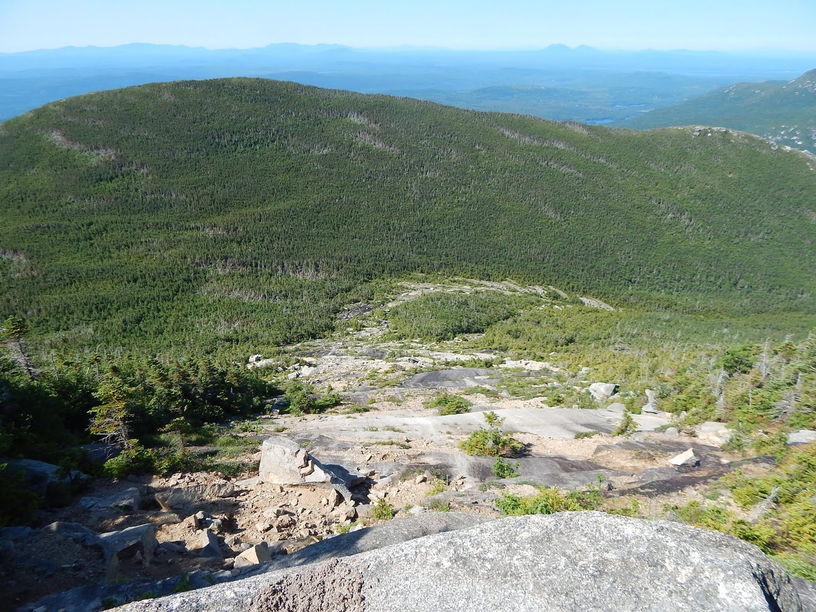
The summit of Mt.Coe features a 360-degree view, from a bald rock, with krumholz and small trees on the west side of the peak. The Klondike can be seen, along with South Brother, Hamlin Peak, Baxter Peak, Barren Mountain, and Doubletop Mountain. There is also a great view to the Northwest Basin.
The Coe Slide can be found on the southwest side of the mountain, and the Mt.Coe Trail ascends it. The view from the slide is primarily to Mt.OJI. The northern side of the summit is also open, and the trail passes in and out of these views.
Trail Overview & Camping:Mt.Coe is easily accessible by using the Mt.Coe Trail, which ascends the Coe Slide. This side is scenic, yet steep and slippery in some places. It also follows the eroded sides of a brook, with views to Mt.OJI. A loop can also be done with the Marston Trail, which can include the peaks of Mt.Coe, South Brother, and even North Brother. Both of The Brothers include taking side trails.
There are no tentsites or shelters anywhere on the trail. Camping is available at the many campgrounds of Baxter State Park, such as Nesowadnehunk Field Campground.
History & Lists:The mountain is on the New England 100 Highest list.
GALLERY
 |
| The summit of Mt.Coe. |
 |
| The view towards Doubletop Mountain. |
 |
| All the peaks of Katahdin from Mt.Coe. |
 |
| Looking down Coe Slide. |
What Can Be Seen...
 |
| The view of Doubletop Mountain labeled. |
Mt.Coe is unique, as it is very easy to combine it with another mountain on the list. It's worth the trip to climb Mt.Coe, so get out there and hike it!
No comments:
Post a Comment